

North Hill [Knockewart Hills]
Good walks are even better shared.
Overview
North Hill [Knockewart Hills]
Overview
Nestled in the serene landscape of the Knockewart Hills, North Hill stands proudly at an elevation of 619 meters. Often overshadowed by higher peaks, it’s the perfect spot for those desiring a less strenuous ascent while still being rewarded with breathtaking views.
Geology
The geological make-up consists predominantly of sedimentary rocks, specifically a pleasing blend of sandstone and siltstone. Over millennia, these rocks have weathered into the beautiful landscape we see today, noted for its rugged charm.
Routes
The main route to the summit is an enjoyable trek, spanning approximately 3.8 kilometres of grassy slopes interspersed with rocky outcrops. It typically takes around 1.5 hours to ascend, making it manageable for most skilful climbers. Whether you’re a casual walker or a seasoned hiker, be prepared to enjoy a lovely blend of nature and a workout!
Summit Features
When you reach the summit, you’ll find a well-crafted stone cairn that serves not only as a landmark but as a place to rest those weary legs. And let’s not forget the flat summit—ideal for a well-deserved snack or a power nap, depending on how energetic you feel!
Terrain
Expect a delightful mix of grassy expanses that flirt with rocky outcrops, but do keep your boots clean as the terrain can be a tad muddy after a good rain. It’s advised to wear sturdy footwear to navigate the playful detours.
Views
The views from North Hill are absolutely splendid, showcasing the sprawling Clyde Valley and, on exceptionally clear days, the distant heights of the Southern Uplands as well as the iconic peaks of the Scottish Highlands. Spring and early autumn are the best seasons for this natural spectacle, with vibrant colours adding to the captivating scenery.
Hazards
While the hill is generally safe for walkers, it’s prudent to watch out for loose rocks and the potential for changeable weather. Always pack a raincoat, just in case the Scottish weather decides to be, well, Scottish!
Access
The nearest parking can be found at the end of Lunderston Bay Road. Public transport options are available to bring you close, although a taxi may be the best bet for reaching the trailhead from nearby towns.
Inverkip, the closest village, adds a local charm where you can find a cup of tea before or after your climb!
Facilities
Once you conquer North Hill, you might want to treat yourself at one of the local cafes in Inverkip. There are no facilities on the hill itself, so don’t forget to use the facilities available in the village before hitting the trail.
History
The hill's name, 'Knockewart', stems from Gaelic origins, meaning 'hill of the young lad.' It reflects the hill’s youthful spirit compared to its elder peers. Historically, the Knockewart Hills are notable boundary markers and have been woven into local lore for generations.
So pack your bags, lace up those hiking boots, and don’t forget the snacks—that's vital. North Hill is waiting for your adventurous spirit to ascend!
Explore routes near North Hill [Knockewart Hills]
Public walks starting within 80 km of this hill. Nearby does not mean a route reaches the summit; check its map and access before setting out.
Greenock Cut: the full circuit from Cornalees
View route
Goatfell from Cladach
View route
West Bay walk and talk
View route
West Bay walk and talk
View route
Route planning notes
These notes describe possible approaches, not verified navigable routes or permission to cross land. Check current paths, local access rules and conditions before setting out.
Common Route from NS238480
A well-trodden path that meanders through grassy hillsides, leading to the summit of North Hill. The route provides excellent views and is popular among both casual walkers and seasoned hikers.
Make a day of it, together
Find someone to share the walk with, or organise a day out along a route you like.
Photo Gallery
View all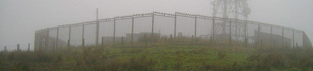 Photo could not load
NS2348 : Wireless station on the summit of North Hill
Mark Nightingale
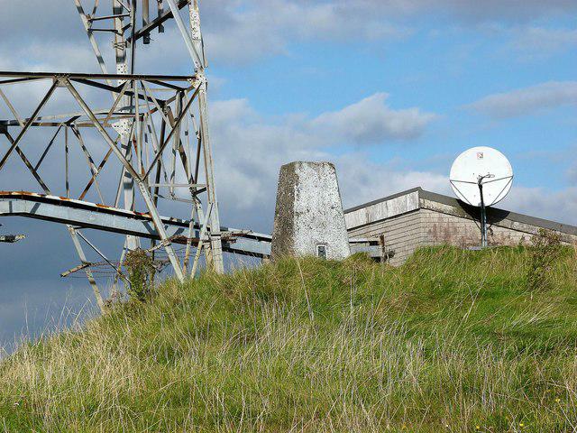 Photo could not load
NS2348 : North Hill
Raibeart MacAoidh
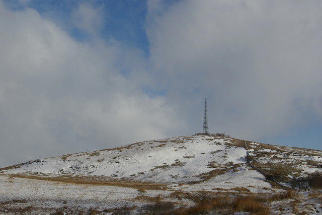 Photo could not load
NS2348 : North Hill
Leslie Barrie
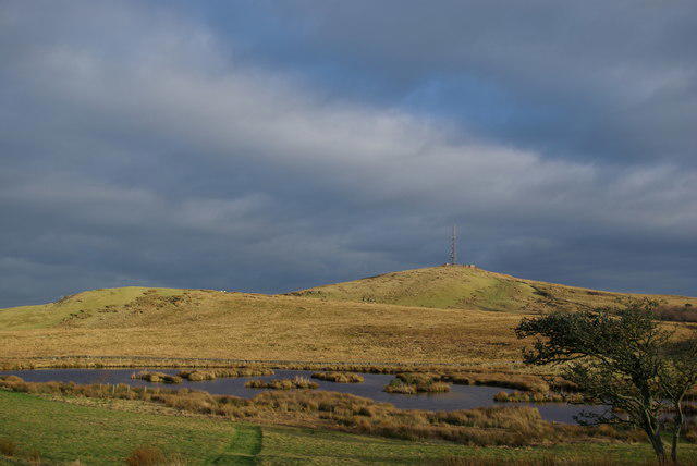 Photo could not load
NS2348 : North Hill
Leslie Barrie
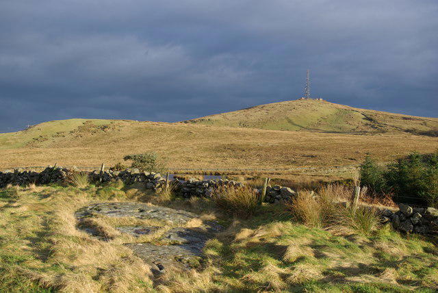 Photo could not load
NS2348 : A view towards North Hill
Leslie Barrie
Hill facts and local notes
Classifications
Elevation
242m
794 ft
Prominence
111m
Coordinates
55.6939, -4.8038
NS238480
OS Map
63
Explorer: 341S
At the Summit
The summit features a sturdy stone cairn, honouring the many adventurers who have enjoyed its summit. There’s also a unique flat top, perfect for a picnic or, if the weather allows, a cheeky nap.
Terrain & Geology
North Hill is predominantly composed of sedimentary rocks, featuring a mix of sandstone and siltstone. This geological composition contributes to the hill's distinctive rugged terrain and the natural features observed in the surrounding landscape.
Views & Scenery
From the summit, hikers can catch stunning views of the Clyde Valley, the distant Southern Uplands, and, on a clear day, even the peaks of the Scottish Highlands.
History & Heritage
Name Origin
The name 'Knockewart' derives from Gaelic, meaning 'hill of the young lad', a nod to the hill’s youthful appearance when compared to its neighbour mountain ranges.
Historical Significance
The Knockewart Hills have been part of local lore for centuries, known for their stunning landscapes and as a historical boundary marker for local clans.
Getting There & Facilities
Check current local access restrictions, parking rules and transport timetables before travelling. These notes do not confirm public access to the summit.
Parking
The closest parking area is located at the end of Lunderston Bay Road, approximately 3 km from the trailhead.
Public Transport
Regular buses operate from Glasgow city centre to nearby towns; however, a taxi may be required to reach the parking area.
Nearby Facilities
There are no facilities at the summit, but Inverkip has a few cafes and a public toilet, making it a good stop before or after your hike.
Safety Information
Known Hazards
- Loose rocks can be a concern, especially on the steeper sections. Be cautious of sudden changes in weather, as conditions can shift rapidly in the hills.
General Safety Tips
- Check weather conditions before setting out
- Carry appropriate clothing and equipment
- Let someone know your planned route
- Take a map, compass, and GPS device
- Carry emergency supplies: food, water, first aid kit, torch
Hills
Some common questions about the hills answered
Are there group walks up North Hill [Knockewart Hills]?
Many walkers use Walkmates to join or organise walks with others. You can check for group walks around North Hill [Knockewart Hills] through the maps
Are there other walkers around North Hill [Knockewart Hills]?
Activity varies by location and time, but Walkmates lets you see whether others have shared walks or shown interest in this area. Find other people through the walking friends search walking friends for North Hill [Knockewart Hills] search or of course create your own walk for North Hill [Knockewart Hills]
Can I organise a walk to North Hill [Knockewart Hills]?
Yes. If there aren’t any walks listed already, you can create a walk and make it available for others to join.
If you're signed up to Walkmates, you can create a walk to North Hill [Knockewart Hills].
How do I find a walk up this hill?
There are often multiple ways to walk this hill, depending on experience and route preference. Walkmates helps you explore walks and routes that others have shared.
Can I suggest a new route up North Hill [Knockewart Hills]?
Yes. You can suggest or create routes to share with others. Walkmates focuses on the social side of walking, so routes are used to help people organise walks and explore areas together, rather than as detailed navigation tools or route libraries.
Other uses really appreciate knowledgeable walkers sharing their routes. Share your favourite route to North Hill [Knockewart Hills] here
The is an error or something incorrect about this hill. How do I let you know?
We always strive to keep the information on Walkmates as accurate as possible. If you find an error, please let us know through the contact form and we'll aim to correct it as quickly as possible
Community Discussion
Comments
Location
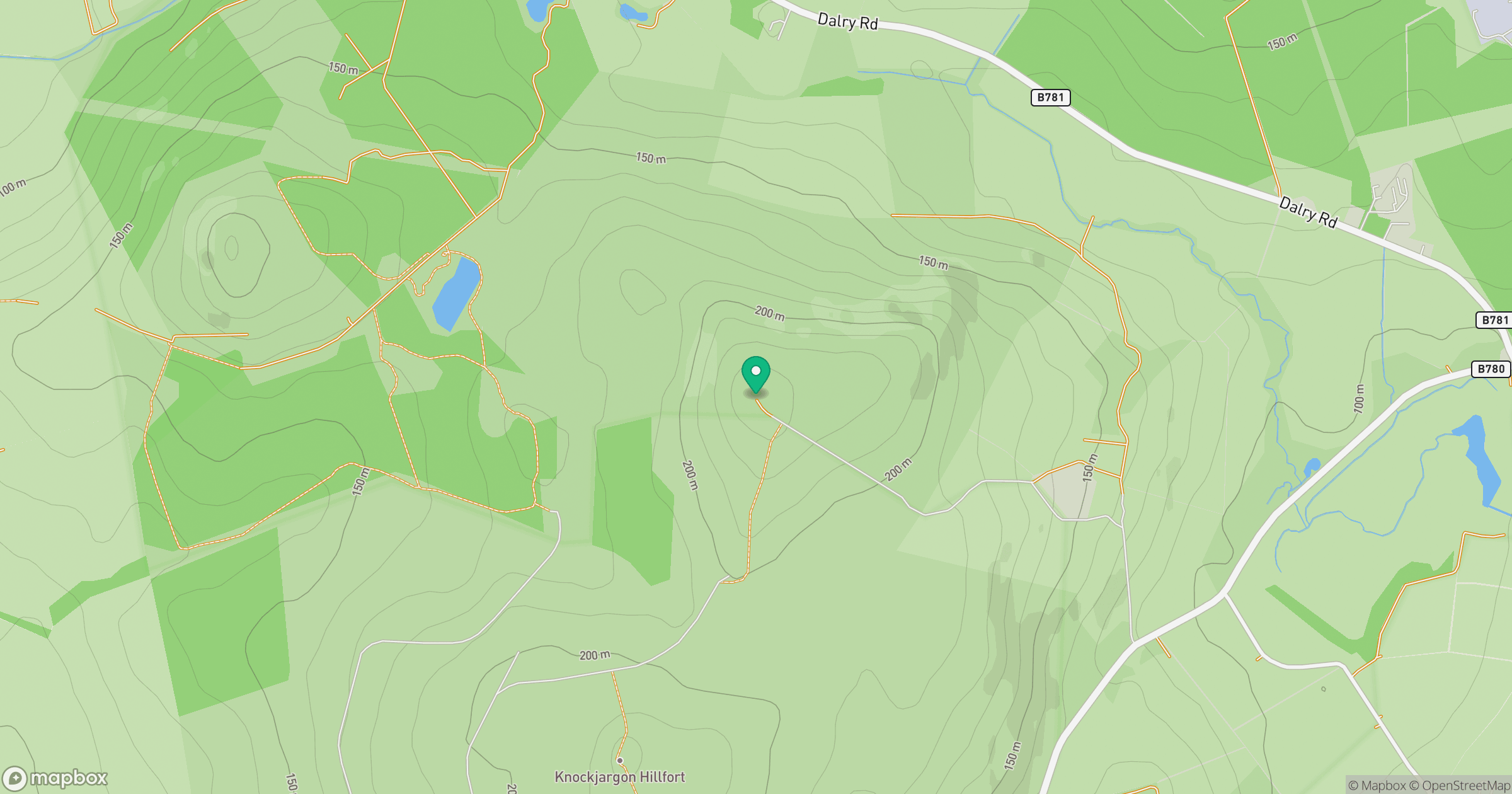
Grid reference: NS238480
View on OpenStreetMapOpens a map in a new tab, centred on the hill.
Hills within 30 km
Straight-line distance, not a walking route or confirmation of access.
No comments yet. Be the first.